Rare 1936 North America Pictorial Map Beauty Wonders Inspiration Progress (E11)

Rare 1936 North America Pictorial Map Beauty Wonders Inspiration Progress (E11)

Rare 1936 North America Pictorial Map Beauty Wonders Inspiration Progress (E11)
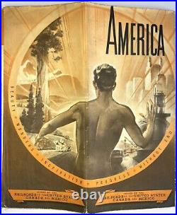
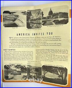
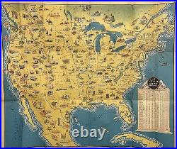
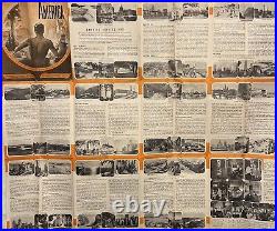
Contains a pictorial full-color map [25 1/2″ x 30 3/8″] on a single sheet [26 3/4″ x 31 1/2″] that folds down to 9 x 4. The colorful map is in lightly used condition. Charming prewar pictorial map of America, southern Canada and northern Mexico for the prospective European tourist to North America, that features regional attractions and themes. Inset table of one way distances between a list of cities and New York, Boston, Montreal and Norfolk. Reverse contains brief descriptions of regions and sites. Issued by the Railroads of the United States, Canada and Mexico. Published by Poole Bros. Make me an offer.
Rare 1936 North America Pictorial Map Beauty Wonders Inspiration Progress (E11)

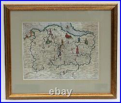
Rare original map by Michael Drayton of North Wales, beautifully framed

Rare original map by Michael Drayton of North Wales, beautifully framed

Rare original map by Michael Drayton of North Wales, beautifully framed
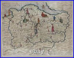
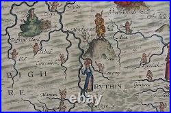
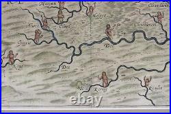
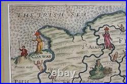
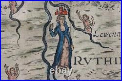
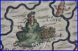
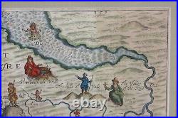
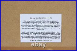
This charming 400 year old original antique map of Denbighshire, Flintshire and part of Caernarvonshire is by Michael Drayton to illustrate his epic poem Poly-Olbion published in 1612 and 1622. The map has been hand coloured and recently framed in a good quality antiqued gold and green wooden moulding and a pale green mount. He started working on his epic poem, Poly-Olbion in 1598 which celebrated the natural beauty of England and Wales. It was published in 1612 with 18 songs and maps including the map covering Flintshire, Denbighshire and part of Caernarvonshire in Wales, and this was followed in 1622 by an enlarged edition containing 30 songs and maps. Emphasis was placed on the rivers which are represented by nymphs while other topographical features such as hills are symbolised by shepherds, and forests by huntresses. The towns and cities, of which only four are shown on this map – Conwy, St Asaph, Ruthin and Wrexham – are shown as female figures wearing crowns in the shape of a castle. 1624 was probably employed to produce the engraved maps. Frame: 50 x 43 cm. Image: 33 x 25 cm. Condition: It is a good strong impression. However, there is a repaired tear at top centre which extends about 9cm into the image. The map, having been recently framed using the best materials including an archive quality mount, is ready to hang.
Rare original map by Michael Drayton of North Wales, beautifully framed